28 Jun Local’s List: Hiking in The White Mountains and New Hampshire’s Upper Valley
June 28th, 2024
In the heart of New Hampshire’s Upper Valley, nestled between the Connecticut River/Vermont border and the White Mountain National Forest, The Innstead Mountain Getaway is the perfect jump-off point for the plethora of hiking trails waiting here to be explored. Rather than list all the amazing, popular hikes that you’ll find in your guidebook, this list will focus on the local trails that those who live here frequent. So, pack your bags, lace up those boots, and point yourself toward one of these five local favorites!
Blueberry Mountain:
Length: 6.3 miles out and back
Difficulty: Moderate
Elevation: 2,662’
Elevation gain: 1,360’
Though Blueberry Mountain appears as merely a bump in the Benton Range, with Moosilauke, Black, and Sugarloaf Mountains standing behind, scattered ledges across the mountain summit provide incredible views in all directions. Be sure to watch carefully for cairns and other trail markings that will guide you through the upper ledges. And don’t forget to stop and eat the blueberries!
Black Mountain via Chippewa Trail:
Length: 3.6 miles out and back
Difficulty: Difficult
Elevation: 2,828’
Elevation gain: 1,650’
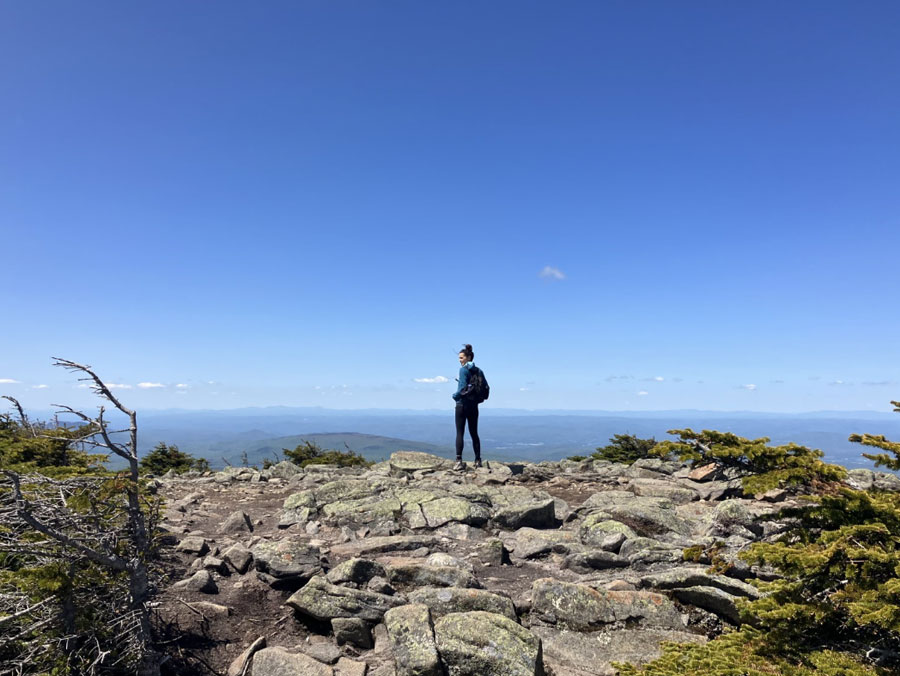
The most notable mountain of its name in New Hampshire, don’t confuse this peak with the ski area located on the other side of the White Mountains in Jackson, NH. Here, you’re in what we like to call the quiet side of the White Mountains. Lying in the shadow of monstrous Mt. Moosilauke, Black Mountain offers a joyfully scenic yet rigorous experience. Hikers are rewarded with nearly 360-degree views from the wide, rocky summit of Black Mountain from which you can enjoy a clear view east to the Kinsmans and Franconia Ridge, or west to the Vermont horizon.
Wachipauka Pond, with option for Webster Slide Summit, via Wachipauka Pond Trail/Appalachian Trail:
Length: 4.6 miles out and back to pond, 6.2 miles out and back including Webster Slide Summit
Difficulty: Moderate
Elevation: Wachipauka Pond (1,500’), Webster Slide (2,184’)
Elevation gain: Wachipauka Pond (550’), Webster Slide (1,234’)
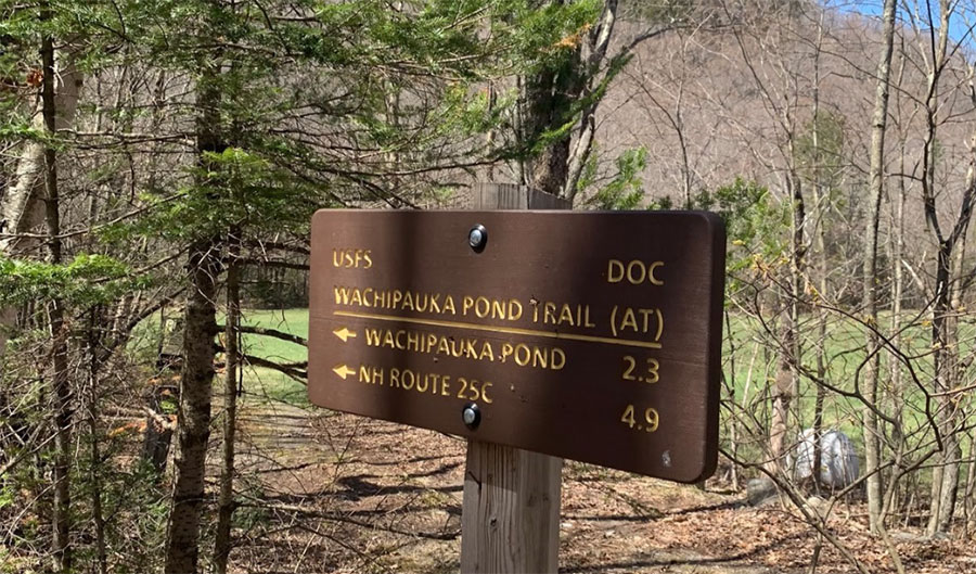
Wachipauka Pond was a stop off spot during colonial days for the likes of Captain Thomas Baker and his rangers as well as for Roger’s Rangers while en route to battle in Lake George, NY. The pond and Webster Slide can be reached by heading south on the Wachipauka Pond Trail, also the Appalachian Trail. After hiking 2.3 miles south, you’ll reach a 4-way intersection. Go left for an easy 0.2-mile descent to the shore of Wachipauka Pond. Here, you’ll find a serene, pondside camp area that lends itself nicely to a picnic or a midday swim. Go right instead for a steep, 0.7-mile ascent to the Webster Slide ledge lookout. Savor the fruit of blueberry bushes scattered about while enjoying an aerial view of Wachipauka Pond and its surroundings below.
Mt Moosilauke via Glencliff Trail:
Length: 7.8 miles out and back, including South Peak
Difficulty: Moderate/Difficult
Elevation: 4,802’
Elevation gain: 3,400’
Mt. Moosilauke is our neighborhood White Mountain 4,000-footer. This 7.8 mile out and back hike is part of the Appalachian Trail and boasts a combination of scenic charm and challenging terrain that will keep the blood pumping. Moosilauke’s open, rock-speckled summit is spectacular but should not be underestimated on a day when Mother Nature shows her teeth.
Mt. Cube via Baker Rd. / Cross Rivendell Trail
Length: 5.2 miles out and back
Difficulty: Moderate
Elevation: 2,909’
Elevation gain: 1,610’
Regarded by northbound Appalachian Trail hikers as the first real taste of what’s to come as they enter NH’s mountainous region, Mt. Cube is a must for those who live and trek in the Upper Valley. Begin in a dense hardwood forest, transition with elevation gain into a pine forest, and finish atop stunning quartzite ledges that offer nearly 360° views, including both NH’s White Mountains and VT’s Green Mountains.


